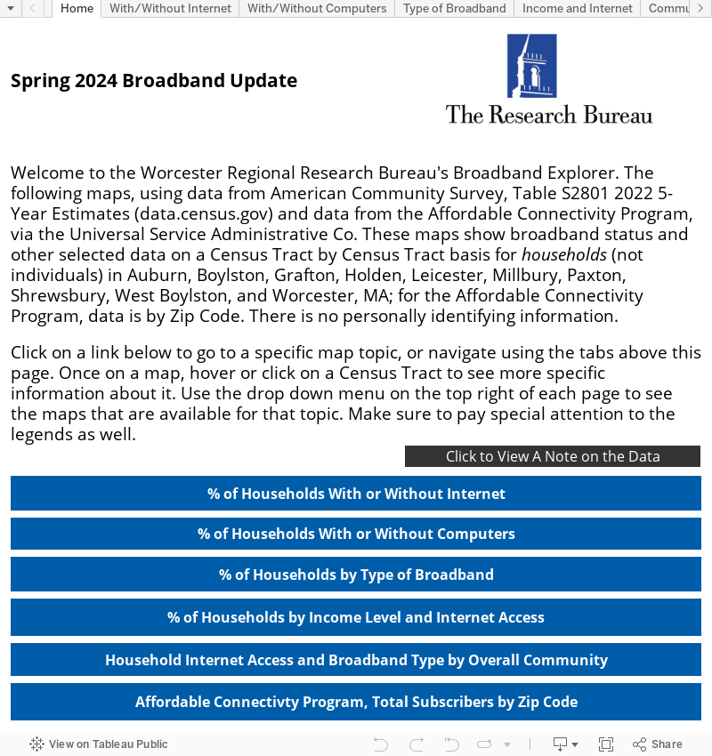
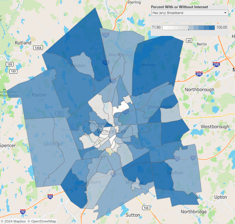
The WRRB’s Broadband Explorer is an interactive tool to show broadband status and other selected data on a Census Tract by Census Tract basis (or Zip Code if only available) for households in Auburn, Boylston, Grafton, Holden, Leicester, Millbury, Paxton, Shrewsbury, West Boylston, and Worcester.
The following maps, using data from American Community Survey, Table S2801 2022 5-Year Estimates (data.census.gov) and data from the Affordable Connectivity Program, via the Universal Service Administrative Co. information.
Click on a link in the map to go to a specific map topic, or navigate using the tabs. Once on a map, hover or click on a Census Tract to see more specific information about it. Use the drop down menu on the top right of each page to see the maps that are available for that topic. Make sure to pay special attention to the legends as well.